
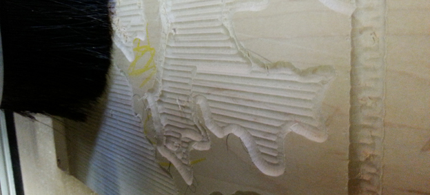
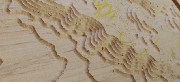
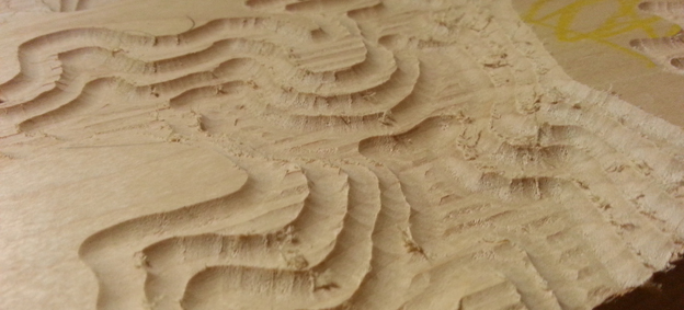
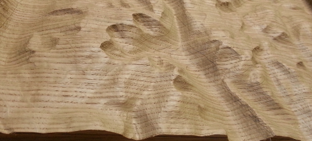
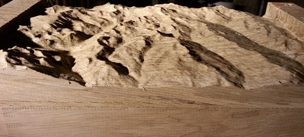
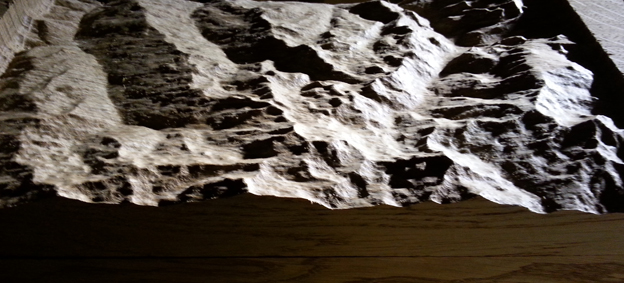
Topographic maps carved in maple and oak from global elevation data. These are scaled sections of terrain that can be chosen from any location, the ones pictured here are the Three Valleys mountains and the Cairngorms national park. Data is imported, a 3D model is created and then 3D tool-paths are generated. They are cut in a series of overlapping passes, initially with a large tool for material removal and then a fine tool to achieve surface smoothness and resolution. The earlier stages of cutting are shown in the work-in-progress pictures.
